 Location: Within Phu Lang Ka National Park, Ban Paeng district, far from Nakhon Phanom town for 92km.
How to go: From Nakhon Phanom town, take highway 212 (Nakhon Phanom-Ban Paeng) pass Ban Paeng around 6km.
When you reach small junction, turn left and go straight until to National Park office.
Season: Wintertime
The scenery and sample place of Phu Lang Ka National Park, Nakhon Phanom Province
The first Tad Poe Waterfall nearby Phu Lang Ka national park office.
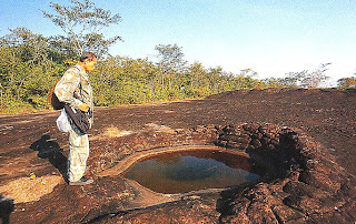
A small brook at the stone ground of Phu Lang Ka summit.
The scenery of ranges and the fields at spot view point of Phu Lang Ka summit.
Subscribe to:
Post Comments (Atom)


Post a Comment